 SANDY BEACHES
SANDY BEACHES
The sand beach is a hostile environment, forming a boundary between the ocean and the land . The beach is subjected to harsh conditions such as breaking waves, changing tides, salt laden winds, extreme temperature changes etc. The sand beach is a temporary habitat.
The texture changes seasonally. Winter beaches contain course sediments while summer beaches contain fine sediments. The removal of beach sediment is erosion and addition of material is deposition. The changes in steepness is the slope.
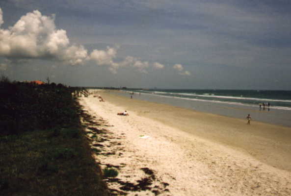
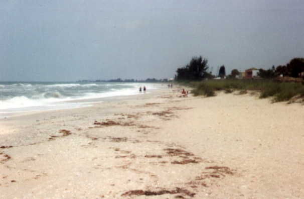
The beach is a region between the high and low waterlines that is covered by sand or some other unconsolidated material.
Some materials along the coastline are more susceptible to weathering than others. Granite, a crystaline rock, is much more resistant to erosion than sandstone. Regions made of sand are quite susceptible to erosion. Quartz sand is common in beaches along the continental shorlines (Gulf from Tampa to Pensacola almost pure quartz sand) La Jolla, the oxidation of iron in mica give the sand a gold cast and the high iron and magnesium content in some sand account for dark patches seen on beaches especially in winter when heavy sediments are left behind while lighter quartz is removed by larger winter waves. Some sand in many tropical and subtropical beaches is predominantly calcium carbonate secreted by marine organisms (shells, algae coral) and in Hawaii and Iceland, black beaches from basalt lava are common. Minerals like gold and diamonds have been found in certain areas of the world on the beaches.
Tides produce short-term fluctuations along coastlines but sea level changes are long-term. Tsunamis have changed coastlines.
Turbulant waves along the shore usually remove mud from the beaches and hold it in suspension. As the fine particles of mud are transported to deeper or less turbulent water, they settle on the bottom. A beach is described in terms of the average size of its sand particles, the range and distribution of these particles, the elevation and with of the berm, the slope of the foreshore and the slope of the inshore. Generally the larger the sand particles, the steeper the beach.
Waves are primarily responsible or moving sand away from river mouths and along the coast. As a wave breaks, the sudden release of energy within a small area causes turbulence that dislodges sand particles. If waves moved in perpendicularly to the beach, then the particles would only move in and out. However, waves approach the coast from almost any angle and if it comes in from the north say, then the water runs back to the sea in a southernly direction. This forms what is known as the longshore current or littoral drift. This current provides longshore transport that carries sand along the shore. Beach sand is always in transit from one place to another. Size and power of waves affect the rates of longshore transport. On the east and west coast, LST runs in one direction usually, and thats south because most waves come from northern storms. Sand is transported south at a rate of 150,000 to 1,600,000 m3/yr.
Large scale earth movements...well an earth quake or the collision coasts where two plates run into each other can affect the coast, but thats covered in plate tectonics.
Human
activities have had both benificial and harmful effects on the
coastline. Damming of rivers, land recovery programmes, dredging
of inlets, development of dune areas and construction of erosion
control structures. 
Dams-when a river is dammed, deposition occurs upstream of the dam instead of at the river mouth where coastal currents could carry he sand down the beach starving the currents and causing erosion of the beach and coastline.
Land recovery-in the Netherlands, this expensive way to get land has destroyed sensitive marsh lands which were regions of life.
Dredging Inlet dredging has become popular so boats can go out into the ocean. Here each area can be looked at. San Diego bay when dredged did not have any real effects on the area while the dredging of a channel in Matanzas Inlet in fla (st Aug.) to enhance land values at Crescent beach and Marineland, had disastrous results. The tidal currents rushing from the new channel, have diverted the strong longshore current,causing sediment to be deposited on the inlets north side and the starved current sweeps by the south side eroading the shorefront property and highway to boot!
Erosion
Control Structures 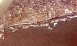
Jetties built to prevent longshore currents from filling inlets or to bring about the deposition of sediments benefit the property immediately upcurrent but may cause the downcurrent shoreline to recede. Groins, small piles of rocks at right angles to the beach transform the longshore current into a zig zag current that destroys the linear form of the coast. Wherever it encounters nonresistat rock, it erodes the shore.
The precarious stability of the shoreline and of the transition zone between the nonmarine environment and the delicate matrine environment suggests that the shoreline should be left undeveloped except where development poses no hazards. Developers should consider the long term consequences of massive shoreline development programs before proceeding.
THE SHORE
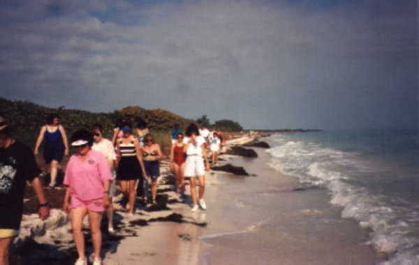
The shoreline is the region bounded by high and low tide and by the farthest landward reach of the waves.
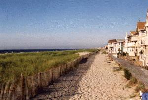
The backshore is the area of the shoreline above the high water or high tide mark. This can contain cliffs or sand dunes or a berm (flat upper beach).
The foreshore is the area that is exposed at low tide. It may have a beach scarp (vertical slope produced by wave erosion) and a low tide terrace (broad flat area exposed at low tide.
The offshore region extends from the low tide mark seaward beyond the wave breaking zone. It has a shoreface (slope below the low tide mark) and a longshore trough (a depression parallel to the beach between the low tide mark and wave breaking zone).
Longshore bar is a sand ridge parallel to the beach.
5 factors interact along the coastline:
Zonation.
Boundries are difficult to locate because of shifting sand and changing heights of waves.
Upper beach-supratidal zone ranges from high tide mark to sand dunes. Animals live below the sand to avoid sunbaked surface. The sand contains almost no food or water so the animals feed at the surface. The most common animals in this zone are amphipods called sand fleas, which are found under driftwood and seaweed during the day. A crustacean, the ghost crab, also lives here and both animals consume dead plant and animal material. This is the fastest crab and blends in with the environment. It breaths air but must return to water to moisten gills and casts fertilized eggs into the surf where they develop as drifting larva in the ocean and return to the beach when they grow. These are consumers of decaying plant and animal material and sea turtle eggs. Some insects and plants also live here but also live in the dunes so fall under sand dunes. At night, insect eating bats, rats, mice run along the tide mark searching for food.
Strand-line.
highest place where the ocean washes the beach. This area
collects stranded material called beach wrack which provides a
cool, moist environment for small invertebrates (biting fleas,
centipedes, earwig beatles, amphipods.). Gulls and sandpipers
scavenge here and whats left, bacteria breaks down. The organic
materials provide food for scavengers and decay bacteria break
down the rest to release nutrients_ back into the ocean for the
primary producers to use thus completeing the cycle of life.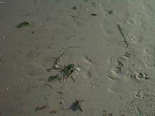
Intertidal zone:
The surface remains wet at low tide from capillary action. Sand grains stay wet and draw water up towards the surface to evaporate. Organisms can now thrive near the surface of the sand. These organisms belong to the interstitial sand community which vary from minute bacteria to worms and copepods.The bodies of these are thin and long and can move easily among the grains. They have adhesive organs allowing them to stick to grains and not be washed away. Diatoms and dinoflagellates are the main producers living in the sand and can migrate deeper and shallower in the sand.(color the sand). There are great quanities of detritis for food and consumers from protozoa to annelids to nematodes which can number 2-3 million per meter2
Subtidal zone..from the lowest part of the intertidal zone to as far out as sand is moved by wave action. Environmental factors change slowly but there is still no substrate which means living under the sand. Fish have adapted a burrowing lifestyle (eels, flounders, soles, rays, skates.) The number of species living in this soft-bottomed subtidal zone usually outnumbers the number of species on the soft bottom of the intertidal zone because of the stability below the low tide mark. Desiccation, rapid temperature changes, salinity variations are not as much a problem.
While the zonation is not as easily seen as on rocky shores, it does exist in ernst but is usually absent from muddy water where there is no change between high and low water marks.
These soft bottoms are unstable and constantly shift in response to waves, tides and currents so the soft-bottomed organisms don't have a solid place to attach. Very few seaweeds/plants adapt to this (except seagrasses) so most of these organisms will burrow in the sediment to keep from being washed away. These are called infauna. T he kind of sediment on the bottom, size of grains etc have an effect on the kinds of organisms living as infauna. Sizes of grains/rub between fingers/gritty = sand...silt and clay are smooth (mud)...silt and clay clay is smooth between teeth and silt gritty! Yum
Living in the sediment has advantages in the intertidal. The soft bottoms hold moisture when the tide is out so desiccation is not that much of a problem. However, the corser the sand, the quicker it dries out! Also because of the lack of plants, oxygen availability is a main concern to the organisms living in the sediments. Also, most are detritus/deposit feeders because of lack of plants and this environment is also home to decay bacteria to help break down sediments (detritus) and these also use oxygen. The finer the sand, the more stuff it holds (more smelly) and courser, the less and therefore cleaner. Water flow through the fine sediments is restricted therefore, less oxygen circulation. The interstitial water is deficient of oxygen. This anoxic or anareobic condition is usually no problem to many bacteria (giving off hydrogen sulfide), but the animals must pump water from above the sediment and have developed long tubes for this.
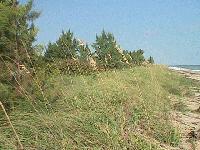
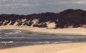
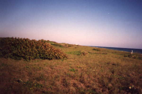 Sand Dunes
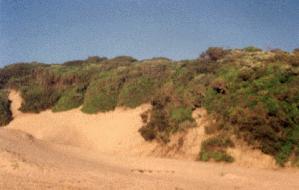
Development of Dune areas
The commercial development of dune areas has also deterioated the ecology. Dunes are impermanent formations that rarely survive the building of houses and other structures. As the dunes are destroyed, the shoreline migrates deeper into the land.
Coastal dunes form where sand is deposited onshore by the sea at river mouths, or exposed by a dropping sea level as in past glacial times, dries out and is blown landward by the wind. (Tinley, 1985)
Coastal dunes exhibit unique processes of genesis () dynamics and zonation determined by the fluctuating sand supply/wind energy ratios related to daily, seasonal and long term changes in sea level and climate, soil changes and plant succession and exposure to salt spray.
Dunes are a mobile physical medium and ecological environment, frontal dunes are part of sediment exchange, increase in age and complexity as it gets farther from the coast, and contains an endemic and/or specialized plant and animal community.
There are 7 determinats to dune development along a coast.
Coastal dunes are populated by plants and animals that are exposed to hot blasts of salty wind, scorching sunlight and almost no water, meager food supplies, little or no firm footing, and wind blown sand.
Dune plants-few specialized plants can live on the upper beach and adaptations include; waxy coverings on the leaves, large root systems, small leaves and few stomata, thick stems and leaves to store water.
How do each of these adaptations help? List them!
 Sand Dune Formation...an essay
Sand dunes form along the coast as sand is blown away from the beach. Grain by grain, the dune grows as onshore winds slow and drop their load of fine, sugary sand. The growth of coastal dunes begins as wind_movement across the open beach is obstructed by blades of grass, a fence etc. Dunes grow and gradually move inland away from the beach. The windward side of the dune usually has a gradual_slope because wind velocity slows and deposits sand along the face of the dune. Strong winds often carry sand over the crest and falls abruptly behind the dune where wind speed is much less. A steep slope forms on the backside of the dune. The first line of dunes are primary dunes which deflect ocean breezes and create a semi-protected environment on the backside of the primary dune. Plants that can't withstand direct blasts of salty wind on the dune face, grow in the protected lee of the primary dune. The area behind the primary dune is the swale which because of the deflection of the wind by primary dunes, can heat up to temperatures of 50'C. The second line of dunes, secondary dunes, are often thickly vegetated, which allows a coastal forest to often develop behind it.
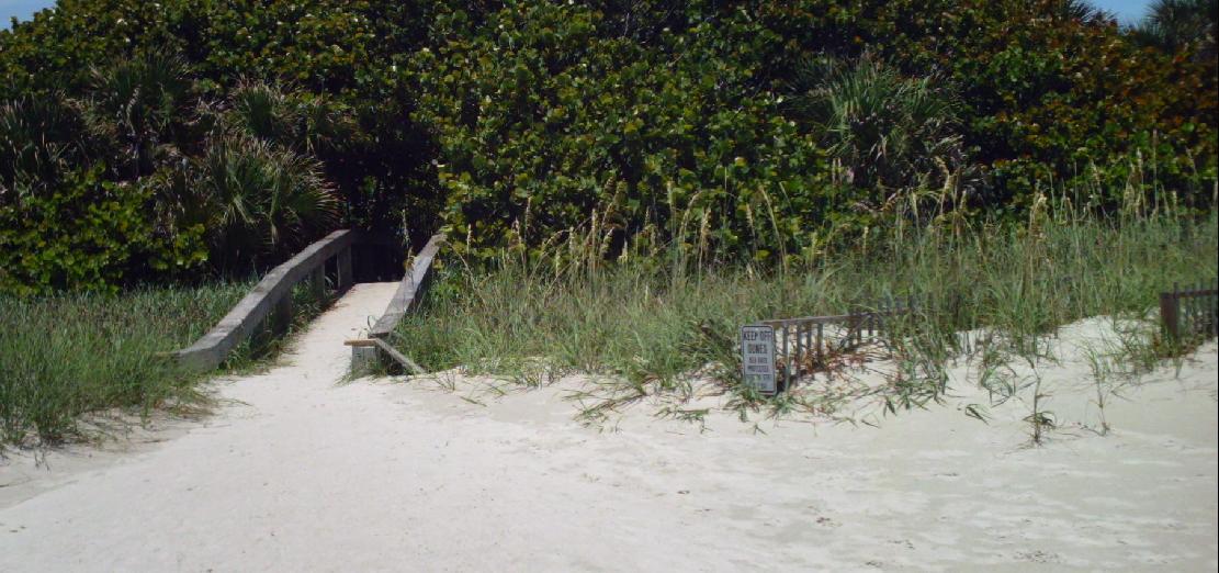
Dune development/ fences to collect sand and walkover to protect the dune grass
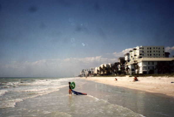
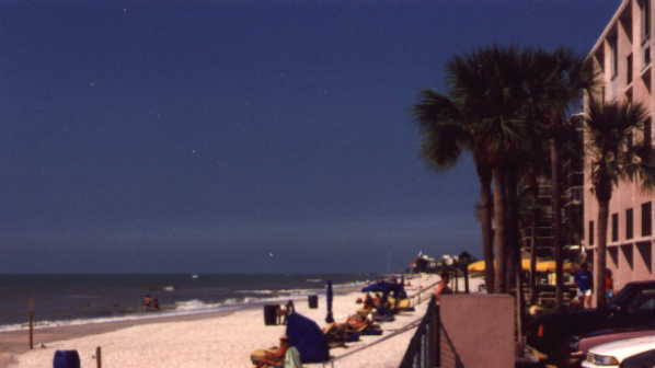
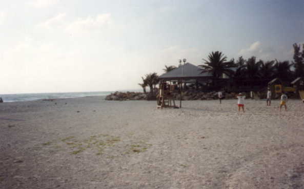
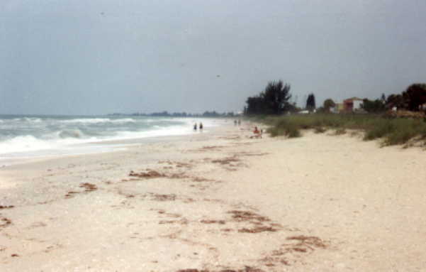
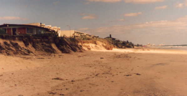
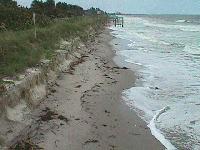
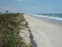
Beach Comparisons
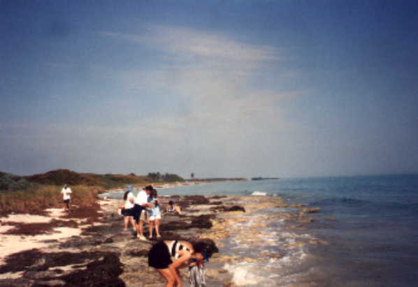
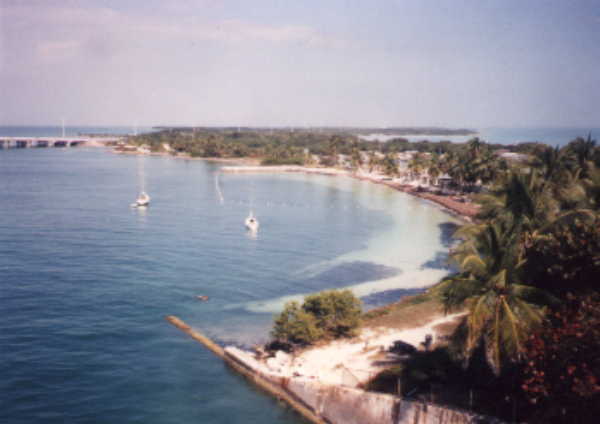 Keys
Keys
 Gulf
Gulf
 Gulf
Gulf
 Gulf
Gulf
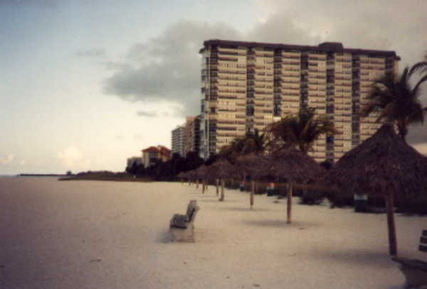
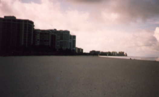
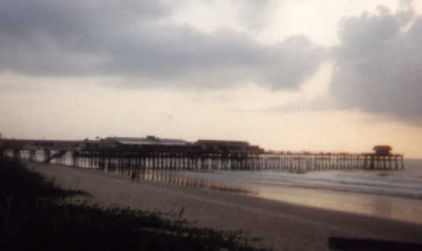 Atlantic
 Atlantic
 Atlantic
 Atlantic
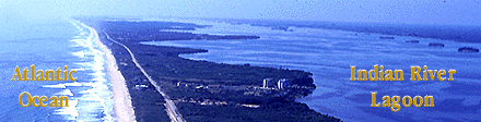
 Atlantic/Indian
 Indian
Summary
Sand Beaches
What to look for: zonation, environment, Composition, Ecology of Dunes, formation of barrier Islands, Populations of beaches and TERMS
Sand Helps Revive shore 4
1. How do Florida's beaches benefit from beach renourishment projects?
2. Why are these projects 50 year projects?
3. How much will these projects cost the taxpayer for the next 50 years?
4. How much of the Florida Beaches are critically eroded?
5. Give evidence that the beach renourishment is working and not unravelling.
6. How can Brevard County defend the use of federal money to rebuild its beaches?
<